Trips Places Foods Stories Newsletters
Loading...
Loading...
Loading...
Loading...

No search results found for
“”

Make sure words are spelled correctly.

Try searching for a travel destination.

Places near me Random place

Popular Destinations

  • Paris
  • London
  • New York
  • Berlin
  • Rome
  • Los Angeles
Trips Places Foods Stories Newsletters
Sign In Join
Places near me Random place
All the United States Alaska King Salmon Valley of 10,000 Smokes
AO Edited

Valley of 10,000 Smokes

In 1912, this idyllic Alaska landscape was blown apart in the largest volcanic eruption of the 20th century.

King Salmon, Alaska

Added By
Gemma Tarlach
Email
Been Here
Want to go
Added to list
CAPTION
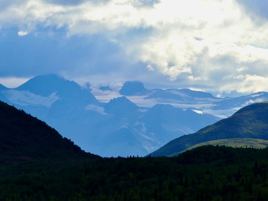
The summit of Mt. Katmai, a volcano six miles away from Novarupta, collapsed when the nearby eruption drained its magma chamber.   Gemma Tarlach
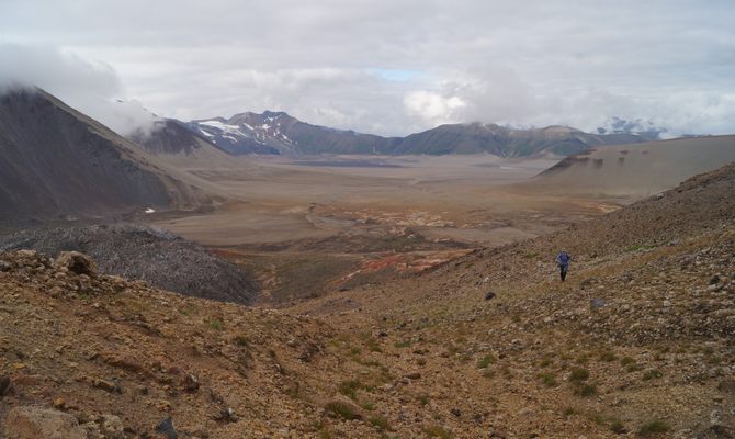
The Valley of 10,000 Smokes, almost 50 square miles in area, was formed by the 20th century’s most powerful volcanic eruption.   Gemma Tarlach
The lava dome of Novarupta is visible at left center.   Davyd Halyn Betchkal / National Park Service
Baked Mountain, one of the peaks nearest Novarupta, was torn apart during the eruption.   Davyd Halyn Betchkal / National Park Service
Steep Knife Creek Canyon runs through the center of the valley.   Gemma Tarlach
The valley floor is almost devoid of vegetation more than a century after the eruption.   Gemma Tarlach
Clouds often hide the summit of Mt. Griggs, named for one of the first scientists to explore the valley post-eruption.   Gemma Tarlach
Over the last century, meltwater rivers have eroded deep canyons into the deposited ash.   Gemma Tarlach
Been Here
Want to go
Added to list

About

The trees warn you of what’s ahead. When you start out on the 20-plus miles of single-lane gravel road, by foot or National Park Service bus, the spruce crowd in on either side, many as tall as a four-story building. The further you travel along the road from Katmai National Park’s Brooks Camp Visitor Center, the shorter the trees, with more and more open space between them. By the time you crest the final hill, only a few spruce, pint-sized and slender, grow between wide spreads of fireweed and lichen.

At the top of the hill, looking to the southeast, you begin to understand why. Before you, a broad, flat valley fills the space between dark mountains, their summits hidden behind clouds. The black rock of the peaks is a sharp contrast to the valley floor’s desert colors. Its pale yellows and pinks are broken up only by the wiggling lines of deep, narrow canyons, carved by meltwater rivers over the past century.

Nothing in the valley is more than 110 years old. Whatever stood here before then was obliterated in 1912 during the most powerful volcanic eruption of the 20th century.

The Novarupta event, which unfolded over several days beginning June 6, blew apart mountains. Pyroclastic flows of lava, ash, and superhot gas hurtled through the original valley at more than 100 mph, incinerating everything in their path. By the time it was over, the eruption had expelled three cubic miles of magma. For comparison, 1883’s Krakatau eruption, considered one of the world’s most powerful, released 2.2 cubic miles, and the Mt. St. Helens eruption of 1980 just 0.1 cubic mile.

Novarupta changed the global climate, cooling the Northern Hemisphere by about 2 degrees Fahrenheit for months afterward. And it changed this corner of southwestern Alaska forever: The pastel-colored valley floor visible today is actually ash from the 1912 eruption, dumped several hundred feet thick in places.

Visitors expecting to see 10,000 thin lines of smoke snaking upward from the pale ash layer will, however, be disappointed. The name was coined in 1916 by botanist Robert Griggs, one of the first people to visit the area following the eruption. At the time, the earth was still seething, the valley floor dotted with scores of steam vents, which have since died out. The eruption was considered scientifically significant enough that, two years later in 1918, President Woodrow Wilson declared the roughly 50-square-mile valley and its surroundings as Katmai National Monument. The monument expanded over time and was eventually designated as a national park in 1980.

In the century-plus since the eruption, the valley in general has become a more hospitable place. White spruce, its seeds spread by the wind, has begun to reestablish itself. Wolves, brown bears, caribou, and even lynx frequent the area. One species that has not returned, at least not permanently, is our own. Two Alutiiq/Supiaq villages near the valley were abandoned as the eruption unfolded, their residents dispersed to nearby Kodiak Island and elsewhere along the Alaska Peninsula. Novarupta also ended the use of a traditional trade route that ran through nearby Katmai Pass.

Related Tags

National Parks History Geology Natural Disaster Natural Wonders Volcanoes

Know Before You Go

To access the Valley of 10,000 Smokes, visitors arrive by floatplane or water taxi to Brooks Camp, 23 miles to the northwest, and attend a mandatory bear safety orientation at the visitor center. From there, you can hike along the road or take a bus, part of a ranger-led day trip that runs daily June-September and must be booked in advance. There is an exhibit on the Novarupta event of 1912 at the Robert F. Griggs Visitor Center, overlooking the valley at the road’s end, and a handful of day hike options from there.

The views from the visitor center are stunning, but to see the Novarupta lava dome, which marks the epicenter of the eruption, you need to backcountry hike several miles deeper into the valley. There are numerous potential routes to the lava dome, but all of them take at least two days and involve hazardous river crossings. Backcountry campers must carry their food in bear-resistant containers.

Community Contributors

Added By

gemmatarlach

Published

September 20, 2022

Edit this listing

Make an Edit
Add Photos
Valley of 10,000 Smokes
1000 Silver Street
Building 603
King Salmon, Alaska, 99613
United States
58.3939, -155.3853
Visit Website
Get Directions

Nearby Places

Brooks River Archaeological District

King Salmon, Alaska

miles away

Hallo Bay Bear Camp

King Salmon, Alaska

miles away

Explore the Destination Guide

Photo of King Salmon

King Salmon

Alaska

Places 3

Nearby Places

Brooks River Archaeological District

King Salmon, Alaska

miles away

Hallo Bay Bear Camp

King Salmon, Alaska

miles away

Explore the Destination Guide

Photo of King Salmon

King Salmon

Alaska

Places 3

Related Stories and Lists

The United States of Camping

List

By Michelle Cassidy

Related Places

  • Painted Dunes from the top of the adjacent cinder cone.

    Old Station, California

    Painted Dunes

    Sunset-colored dunes of volcanic ash make taking a poor photo impossible.

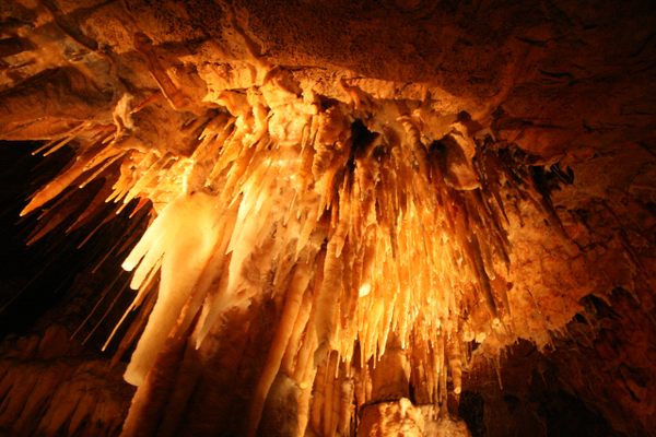
  • Stalactites in King Solomon’s Cave

    Liena, Australia

    King Solomon's Cave

    A limestone cave filled with impressive formations in Mole Creek Karst National Park.

  • This way to Volcano Observatory

    Flemming, Montserrat

    Montserrat Volcano Observatory

    Safely view the Soufrière Hills volcano, which has been erupting since 1995.

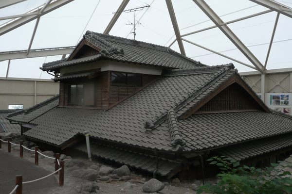
  • Memorial Park of Houses Destroyed by Debris Flows

    Minamishimabara, Japan

    Memorial Park of Houses Destroyed by Debris Flows

    Buried nine feet under, these houses are preserved as a stark reminder of the disastrous 1991 Unzen eruption.

  • Rano Kui

    Rapa Nui, Chile

    Kotepokouri Rano Kau

    A volcanic crater that visitors can look inside.

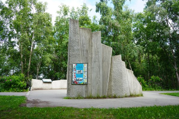
  • Plaques along the trail at Earthquake Park share information about the event and its lasting effects on the region.

    Anchorage, Alaska

    Earthquake Park

    The now-serene site of the largest earthquake ever recorded in North America.

  • Winona, Missouri

    Rocky Falls

    A 40-foot waterfall flows into this unique natural swimming hole.

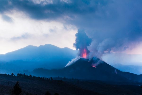
  • The eruption in October 2021

    La Palma, Spain

    Volcán de Tajogaite

    The longest eruption in the history of La Palma originated with this volcano in September 2021.

Aerial image of Vietnam, displaying the picturesque rice terraces, characterized by their layered, verdant fields.
Atlas Obscura Membership

Become an Atlas Obscura Member


Join our community of curious explorers.

Become a Member

Get Our Email Newsletter

Follow Us

Facebook YouTube TikTok Instagram Pinterest RSS Feed

Get the app

Download the App
Download on the Apple App Store Get it on Google Play
  • All Places
  • Latest Places
  • Most Popular
  • Places to Eat
  • Random
  • Nearby
  • Add a Place
  • Stories
  • Food & Drink
  • Itineraries
  • Lists
  • Video
  • Podcast
  • Newsletters
  • All Trips
  • Family Trip
  • Food & Drink
  • History & Culture
  • Wildlife & Nature
  • FAQ
  • Membership
  • Feedback & Ideas
  • Community Guidelines
  • Product Blog
  • Unique Gifts
  • Work With Us
  • About
  • FAQ
  • Advertise With Us
  • Advertising Guidelines
  • Privacy Policy
  • Cookie Policy
  • Terms of Use
Atlas Obscura

© 2025 Atlas Obscura. All Rights Reserved.